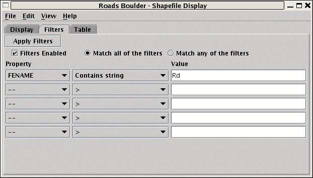
Filters tab.
For a further description see here.
Note: The IDV supports a simple XML format for maps. The Shapefile Control can export
the displayed shapes in this XML format the File->Save->Export Displayed Shapes... menu.

Image 2: Shape File Control Filters Tab
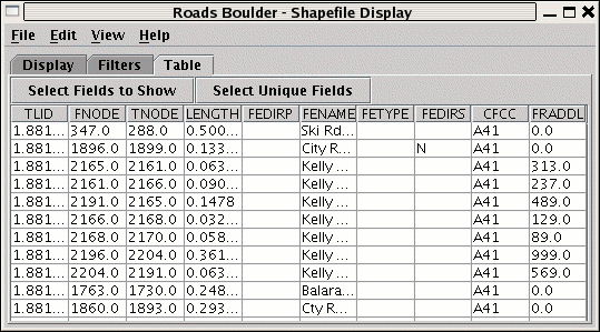
When the shape file has an associated data base file (.dbf)
a tabular listing of the attributes is shown in the Table
tab.
Use the Select Fields to Show button to select what fields to show.
The table can be exported as a CSV file with the File->Save->Export Table... menu.

Image 3: Shape File Control Table Tab
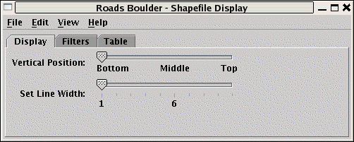
- Vertical Position
This slider allows you to set the vertical position of the Shapefile display.
- Line width
Use the
Line widthslider to change the width of the lines in the display. Note on some versions of Java3D on Windows platforms line width does not work. - Probe Color
Use the
Edit->Colormenu to select a color for the position line and its end points - map
line
- Line
Color


